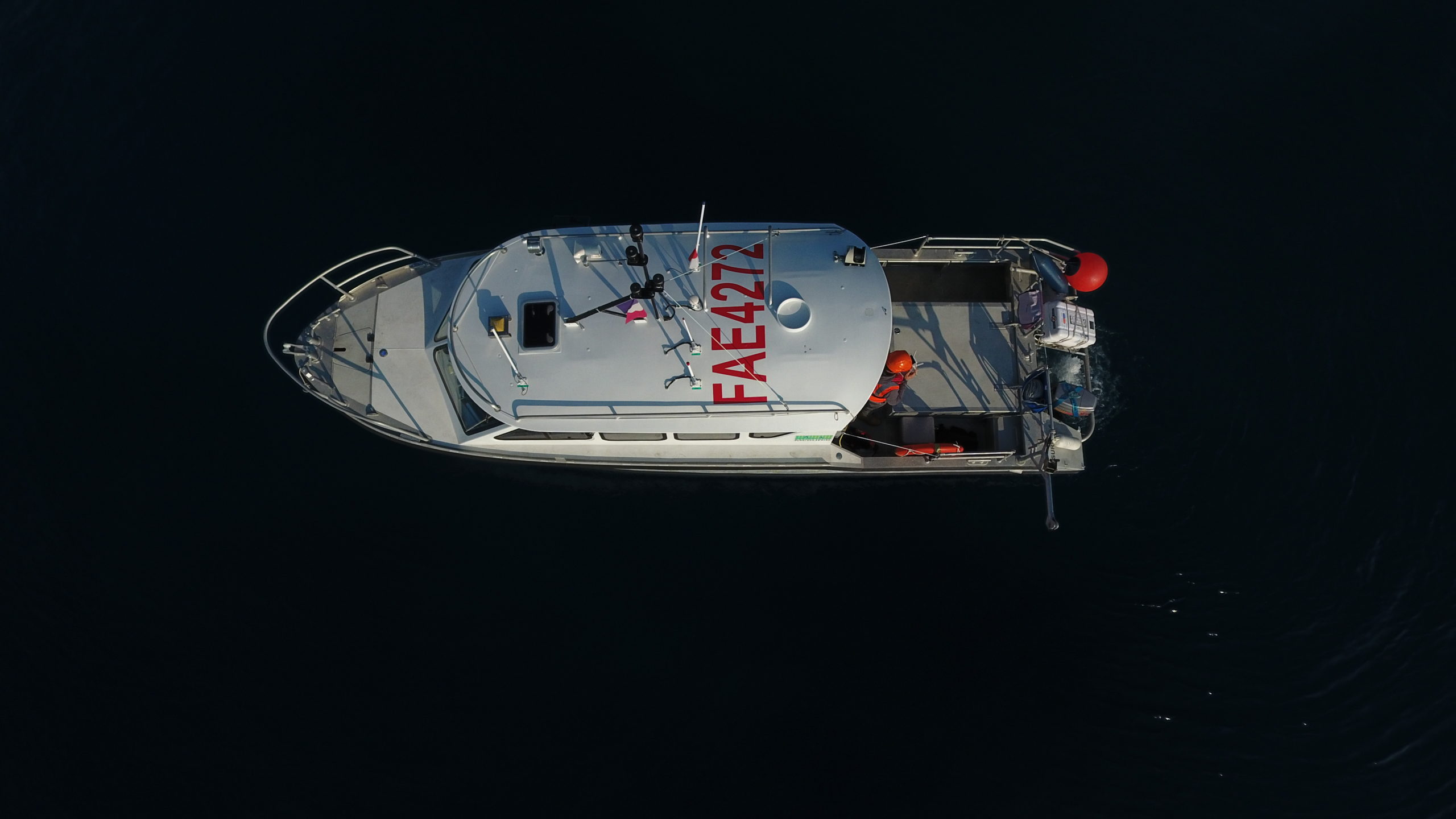

SPECIALIST IN MULTIBEAM BATHYMETRY SURVEY & ELECTRONIC SYSTEMS INTEGRATION
High resolution 3D seafloor mapping
Survey inspection
COASTAL TOPOGRAPHY
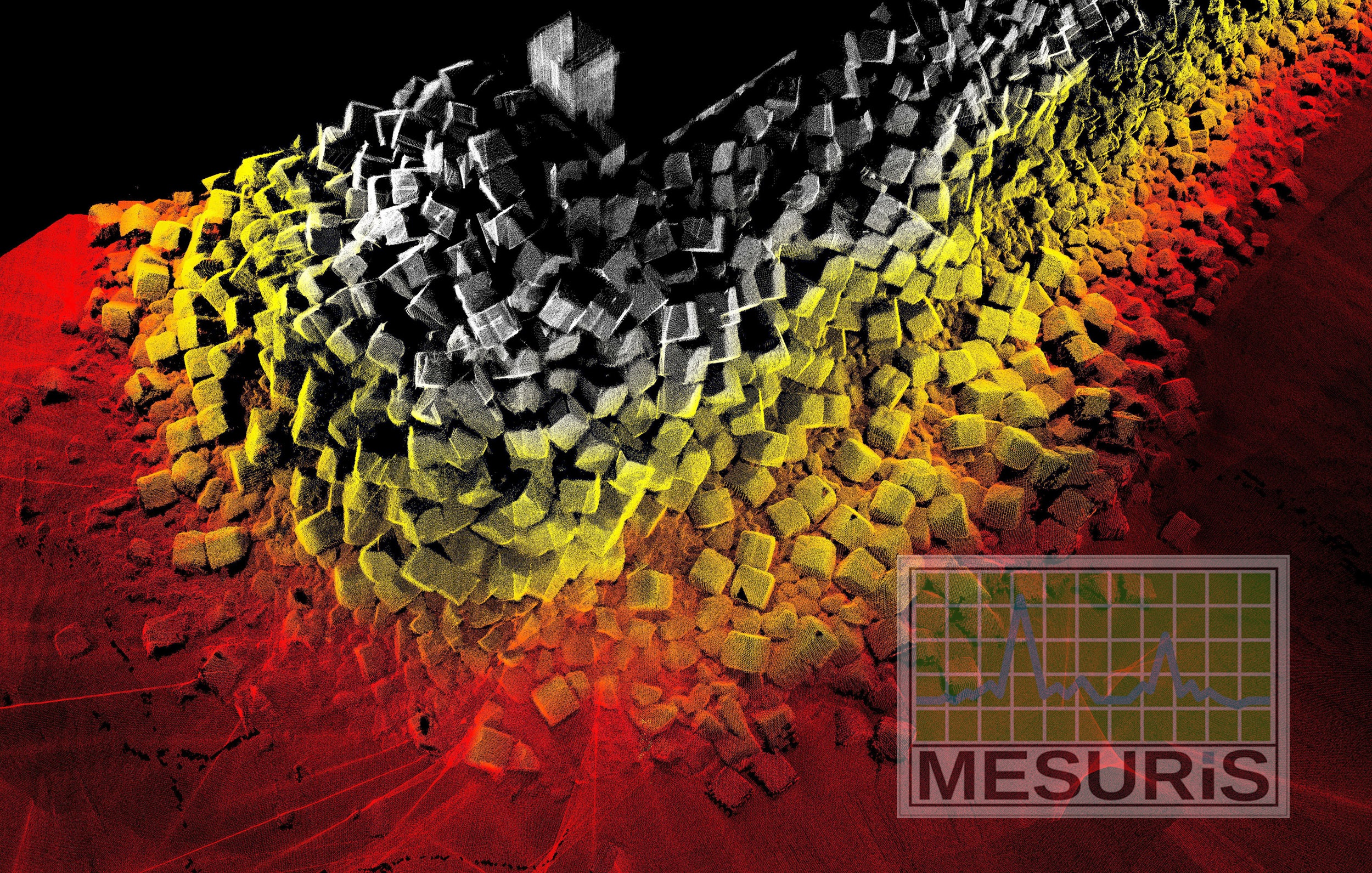
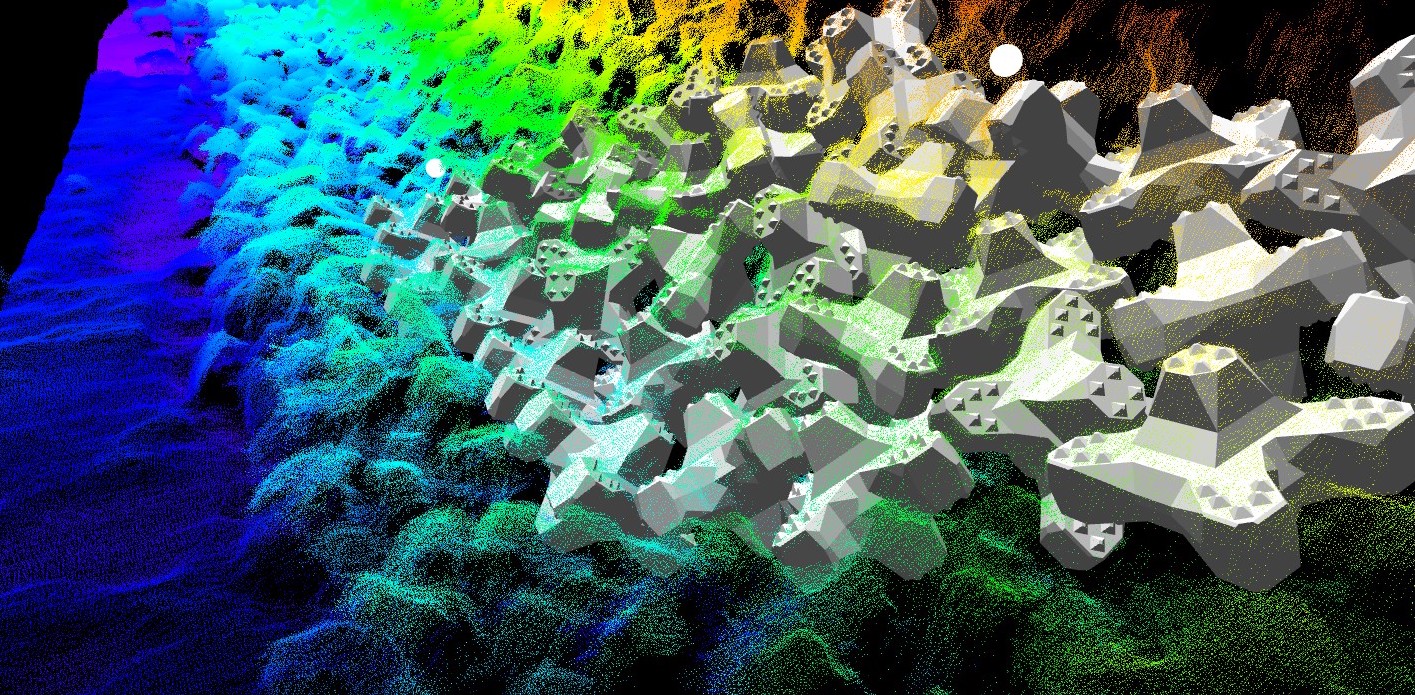
The new reference tool to provide “AS BUILT” 3D for all type of single layer armouring construction. BLOCKSfit™ is an innovative software package computing blocks positions …
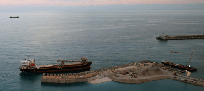
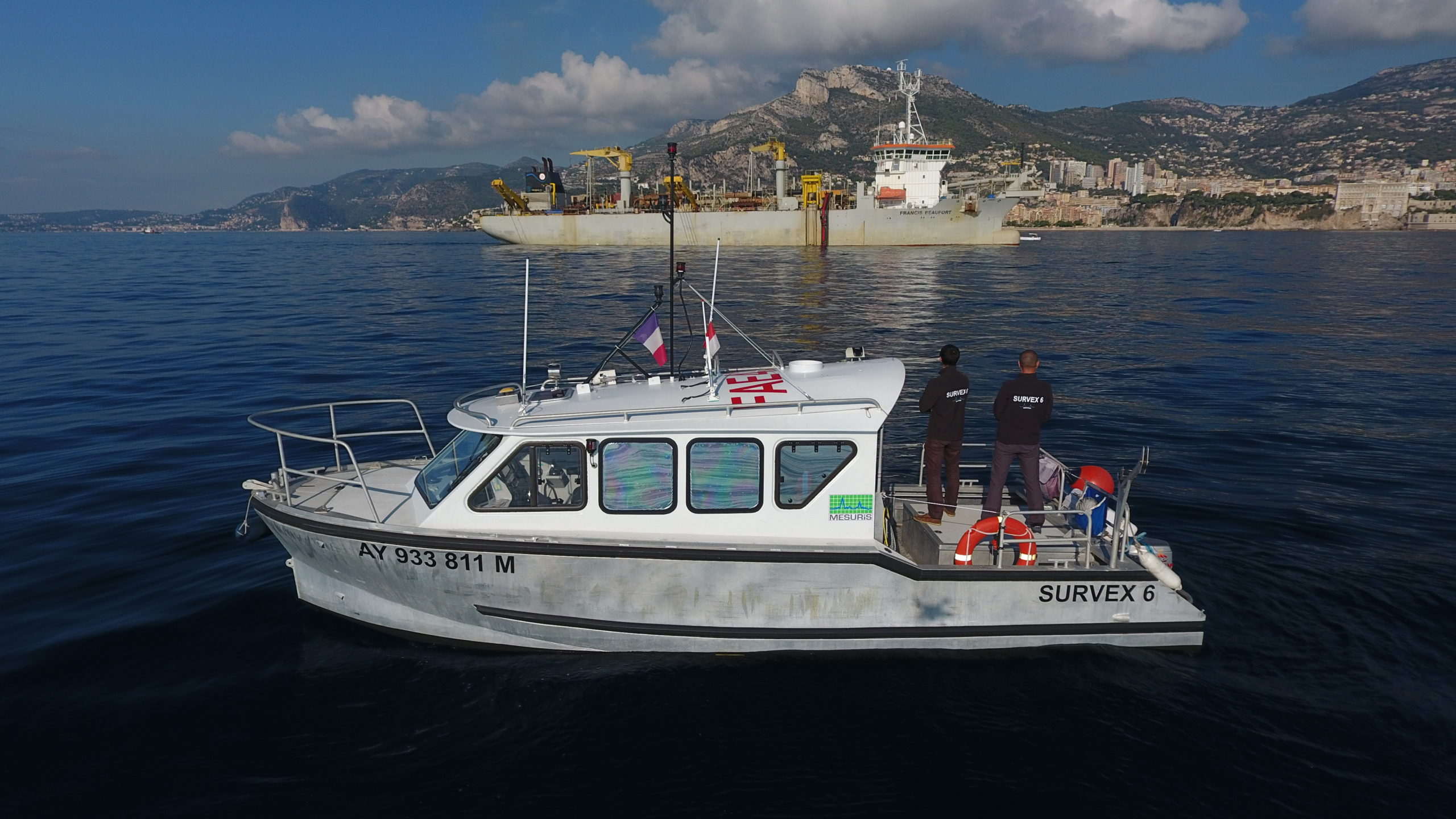
The boxes are now connected to the earth Mesuris is proud to participate since 2017, in the exceptional project that is the Monaco Sea Extension …
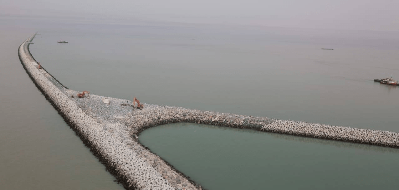
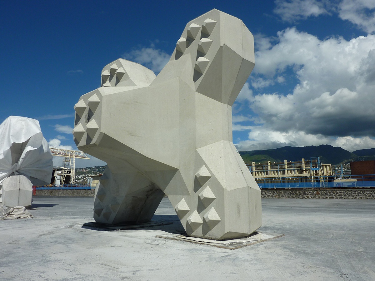
Almost 100,000 CORE-LOC ™ installed on the Al Faw Grand Port project Located in southern Iraq, the Al Faw Grand Port project is protected by …