GEOSUB 3D
GEOSUB 3D
MESURIS is the first company to have designed and produced a very high resolution underwater mapping system, usable without any conventional survey vessel. GEOSUB 3DTM is a mobile multibeam bathymetric unit designed to produce a high resolution DTM from a site crane very quickly for all types of shallow water marine projects.

More simple and less expensive than a multibeam survey vessel
- Minute survey : calibrated inspection system, immediately operational to display in real time high resolution bathymetry. It only needs a single operator.
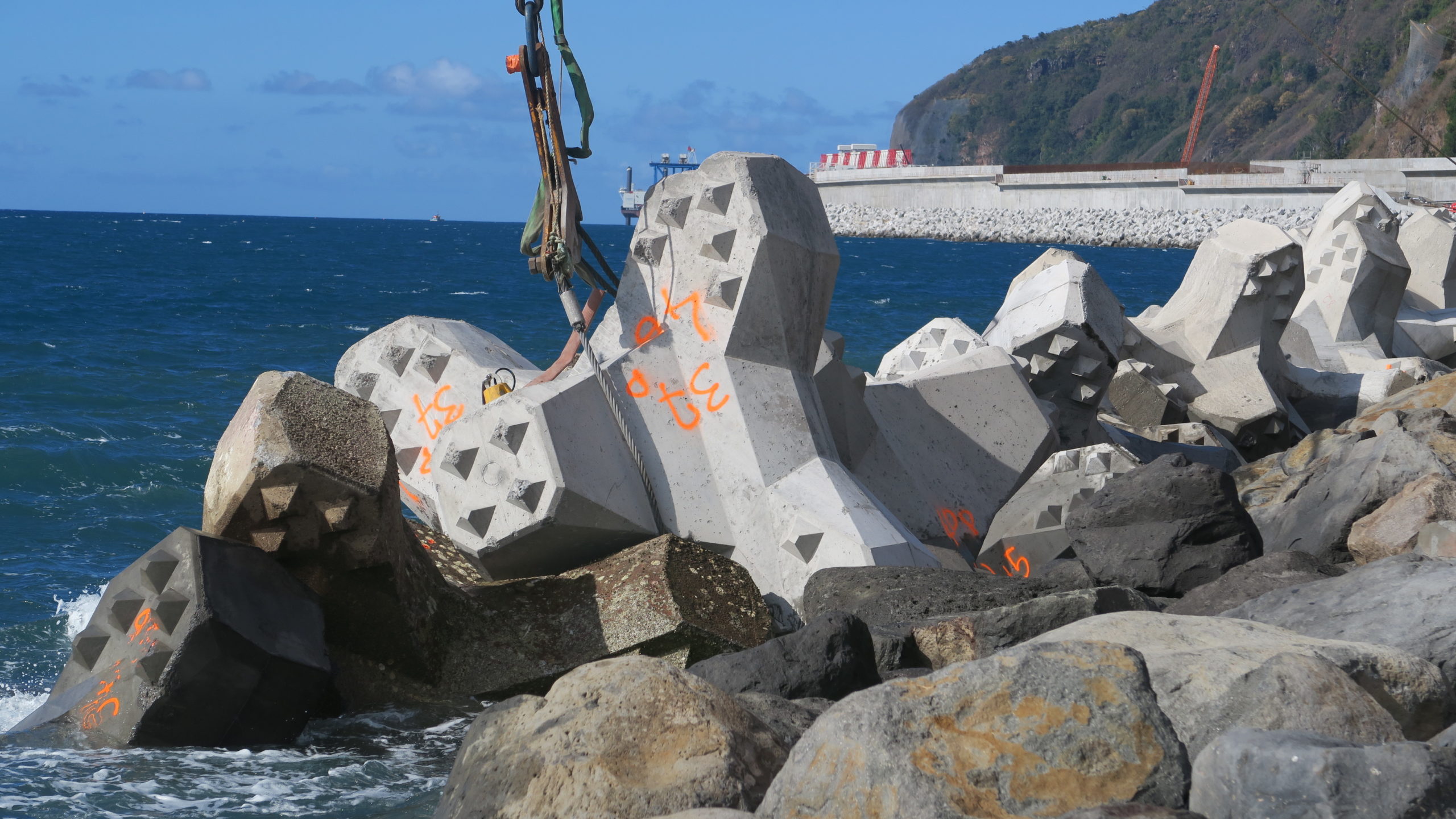
- Can be used directly from the hook of the crane on the building site and does not require a survey vessel.
- Reduced project time due to rapid and frequent follow up.
Extremely accurate
Production of a digital terrain model «as built» of high resolution topographic quality.
- There are less shadow areas, because radial beams. Inertial motion sensors and RTK positioning (centimeter accuracy) are combined for exact cartography of complex volumes geometry.
- Coverage over 160°, much more than an acoustic camera.
- Points density up to 1000 /m2 to produce digital terrain models with 10 x 10 cm cells
More secure and efficient
- Replaces underwater diver inspections
- More accurate and faster than any manual method.
- Inspection possible even during rough seas.
- under ice or ice floe survey
OPOMETRYX-GEOSUB 3DTM option : multibeam laser topographic system simultaneously maps above the water.
Adaptation to the request
- MESURIS technicians are operating GEOSUB 3DTM on site for selective inspections.
- Lease systems and training for short projects with optional data processing.
- Delivery of GEOSUB 3DTM systems for permanent use.


